 |
 © ©
|  |
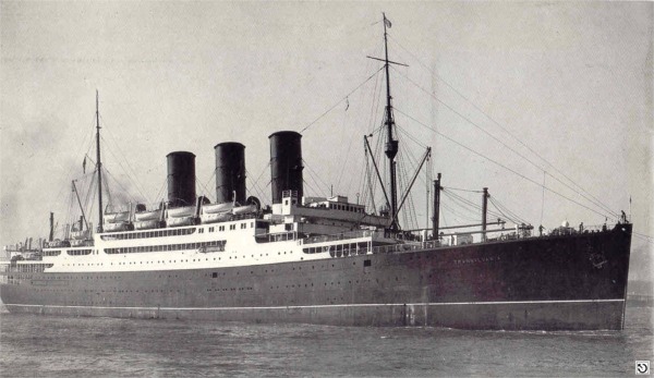
| Vessel Type: | Armed Merchant Cruiser | Location: | Co. Donegal |
| Date of Loss: | 10th August 1940 | Place: | 40 miles North-West of Malin Head |
| Cause of Loss: | Torpedoed & sunk by U-Boat U-56 | Last known position: | 55° 48' 36" North x 07° 48' 36"West* |
|
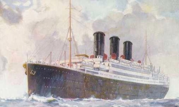
© by kind permission of Ian Coombe of mnnostalgia web site
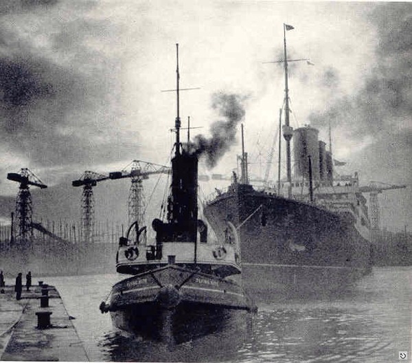
"arriving at the Clyde" © by kind permission of Ian Coombe of mnnostalgia web site
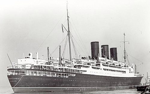
© by kind permission of clydeships web site
© by kind permission of clydeships web site
| |||||
Source
Publications:
|
Irish
Wrecks Database | by | Roy Stokes & Liam Dowling |
Shipwreck
Index of Ireland | by | Richard & Bridget Larn |
| Lloyd's Register - Fairplay Ltd 2002 - ISBN: 1900839970 |
| Other Sources: |
*source
- Geological Survey of Ireland | - | Internet (2020) |
|
|
Last update - 18-Nov-2020
|
|
A page from "www.irishwrecksonline.net" ©