©
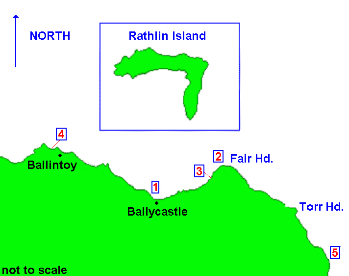
Click on Lists below or Number on map
Dived Wrecks
1/ S.S. Templemore
2/ S.S. Santa Maria
3/ S.S. Glentow
4/ S.F.V. City of Bristol
5/ S.V. Taymouth Castle
County Antrim Wreck List
North Co. Antrim
Road Map of Ireland
Click insert for wrecks around Rathlin Island
Last update -
5-May-2020
Grid Map A6 & A7

 ©
©
©
©