 |
 © ©
|  |
 |
| Vessel Type: | Salvage Steamer | Location: | Co. Antrim |
| Date of Loss: | 11th April 1917 | Place: | Ballygalley |
| Cause of Loss: | Foundered | Shore Dive from: | Ballygalley |
| Charted Depth: | 10m | Irish O.S. Map: | Discovery Series No. 9 |
| Height of Wreck: | Scattered | Admiralty Chart No: | 2199 and/or 2198 |
| Hull Material: | Steel/Iron | Latitude (approx.): | 54° 58' 15" North |
| Type of Seabed: | Sand | Longitude (approx.): | 05° 56' 30" West |
| Average Visibility: | 5 - 10m | Convert Lat. & Long. to - | Decimal - CLICK HERE |
| Image available? | Yes - see below | Diving Experience: | Novice |
| Diving Information: |
|
| Historical Information: |
|
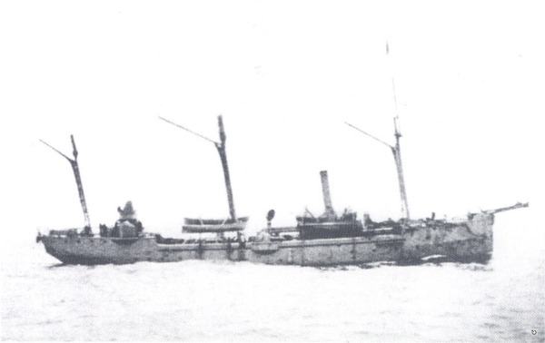
© by kind permission of Ian Wilson (author of "Shipwrecks of the Ulster Coast")
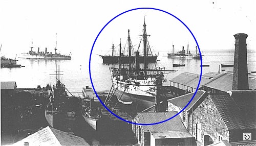
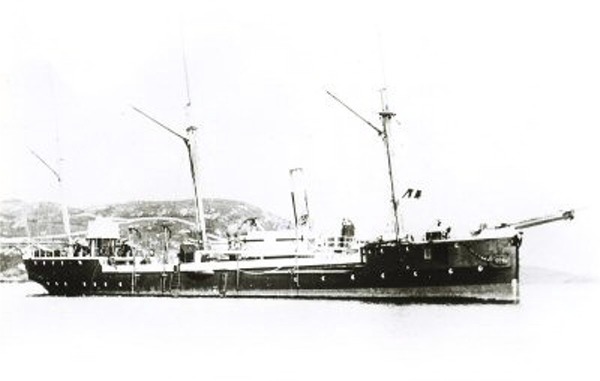
© by kind permission of clydebships web site
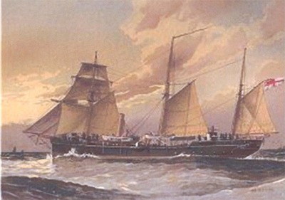
via Michael Montgomery (Castlereagh SAC)
via David Mounsey
| Source Publications: |
| "Shipwreck
Index of Ireland" |
by | Richard & Bridget Larn |
| Lloyd's Register - Fairplay Ltd 2002 - ISBN: 1900839970 | ||
| "Shipwrecks
of the Irish Coast 932 - 1997" |
by | Dr. Edward J. Bourke |
| Edward J. Bourke 1998 - ISBN: 0952302713 | ||
|
"Shipwrecks
of the Ulster Coast" |
by | Ian Wilson |
| Impact Printing 1997 - ISBN: 0948154993 |
| Other Sources: |
| Randal
Armstrong | - | Castlereagh SAC (1982) |
| Royal
Navy | - | Hydrographic Department (1970) |
|
|
Last update - 25-Sep-2003
|
|
A page from "www.irishwrecksonline.net" ©