 |
 © ©
|  |
 |
| Vessel Type: | Steam Coaster | Location: | Co. Antrim |
| Date of Loss: | 19th December 1916 | Place: | The Maidens |
| Cause of Loss: | Ran aground | Boat Dive from: | Ballylumford |
| Charted Depth: | 15m | Irish O.S. Map: | Discovery Series No. 9 |
| Height of Wreck: | 2m | Admiralty Chart No: | 2198 and/or 2199 |
| Hull Material: | Iron | Latitude (GPS): | 54° 55' 46.8" North |
| Type of Seabed: | Rocks | Longitude (GPS): | 05° 43' 33.18" West |
| Average Visibility: | 8 - 10m | Convert Lat. & Long. to - | Decimal - CLICK HERE |
| Image available? | Yes - see below | Diving Experience: | Experienced Novice |
| Diving Information: |
|
| Historical Information: |
|
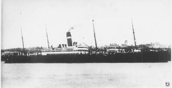
subject to confirmation
© by kind permission of photoship web site
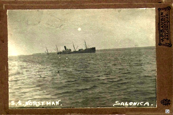
Via email from John Snell
His father was onboard when S.S. Norseman was torpedoed off Solonica earlier in 1916.
All external copyrights respectfully acknowledged
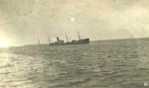
Same photo without the frame.
Via email from John Snell
All external copyrights respectfully acknowledged
| Source Publications: |
| "Cambrian
Coasters" |
by | R.S. Fenton |
| World Ship Society 1989 - ISBN: 0905617525 | ||
by | Roy Stokes & Liam Dowling | |
|
"Shipwreck
Index of Ireland" |
by | Richard & Bridget Larn |
| Lloyd's Register - Fairplay Ltd 2002 - ISBN: 1900839970 | ||
|
"Shipwrecks
of the Ulster Coast" |
by | Ian Wilson |
| Impact Printing 1997 - ISBN: 0948154993 | ||
|
"Underwater
Ireland Guide to Irish Dive Sites" |
by | Irish Underwater Council |
| CFT 1999 - ISBN: 0948283025 |
| Other Sources: |
Peter
Steel | - | North Irish Lodge, Islandmagee (1999) |
| John
Snell | - | Via email (2007) |
|
|
Last update - 26-Sep-2007
|
|
A page from "www.irishwrecksonline.net" ©